
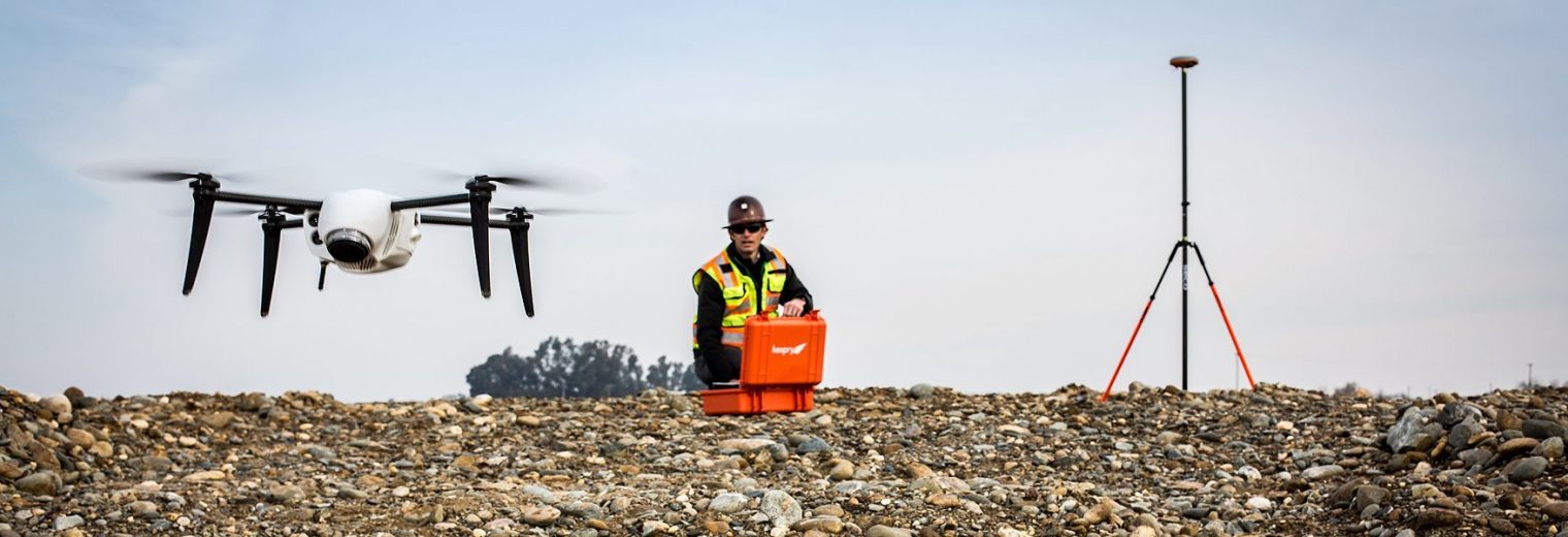
Drone for Surveying in Civil Engineering
Drones mean a quantum leap for surveying. They provide eyes that can reach and hover above specific sites. Their height and cameras can be adjusted remotely. And, equipped with sensors, they can measure, transmit and store data.
Global positioning has created greater interest in Geographical Information Systems (GIS). According to Drone Analyst, “GIS professionals provide a wide variety of land-related services like identifying property boundaries, subdividing land, and surveying construction sites for placement of buildings. They also produce topographic and hydrographic maps, volumetric calculations for stockpiles, and flood insurance maps, among other services.”
Comments :